Quick summary: Discover how farm mapping solutions are transforming Ghana’s smallholder agriculture. Digitize plots, enhance traceability, ensure compliance, and unlock market access for cocoa, cashew, ginger, hibiscus, and sesame farmers.
Farm Mapping in Ghana – Digitizing Smallholder Plots is essential for improving traceability, crop monitoring, and compliance across cocoa, cashew, shea, and food crop value chains. Digitized maps capture polygon-level farm boundaries, GPS coordinates, land-use data, and farmer profiles, enabling accurate yield estimation and risk assessment. With Ghana’s smallholder-dominated agriculture, digital mapping ensures transparency, supports certification schemes, strengthens EUDR readiness, and enhances access to finance and premium markets. By replacing manual records with geospatial intelligence, Ghana can build more resilient, data-driven, and globally compliant supply chains.
Smallholder farmers dominate Ghana’s agricultural landscape, accounting for over 70% of all farmers and contributing significantly to national food supply and export earnings. Most operate on fragmented 1–3 hectare plots with limited formal land documentation or boundary clarity. This lack of mapped farm data creates challenges for buyers, processors, and financial institutions that increasingly require verified plot information for sourcing, certification, and compliance.
Land tenure complexity including stool lands, family-held lands, and customary rights often results in overlapping claims and weak documentation, limiting long-term investment and excluding farmers from modern, traceability-driven value chains. Many smallholders still lack digital identities, geolocation records, and standardized plot maps, restricting access to premium markets and climate-finance opportunities.
Ghana’s diverse agro-ecological zones support major value chains such as cocoa, maize, cassava, oil palm, cashew, shea, rice, yam, and horticulture. Regions specialize in key exports cocoa in the forest belt, cashew in Bono and Savanna, oil palm in the south, and shea in the northern regions.
Together, fragmented landholdings, weak plot documentation, and limited digital visibility highlight why Farm Mapping in Ghana is now essential for improving productivity, strengthening traceability, unlocking financing, and integrating millions of Ghanaian farmers into sustainable global markets.
Ensure regulatory readiness and traceable sourcing with smart farm mapping. Learn how mapping every plot can streamline compliance and reduce risk across your supply chain.
[Explore the Blog →]
Digitally profile farmers to capture verified data, improve traceability, and strengthen ESG and sustainability reporting. Discover how digital onboarding empowers both farmers and buyers.
[Read the Blog →]
Farm mapping gives Ghana’s Ministry of Food and Agriculture (MoFA), aggregators, and input suppliers accurate GPS-based farm sizes, crop types, and farmer identities. With digital plots, programs like fertilizer subsidy schemes, Planting for Food and Jobs (PFJ), and mechanization services can:
● Match inputs to actual land sizes
● Prevent ghost beneficiaries and duplicate registrations
● Monitor real-time distribution efficiency
This ensures that subsidies and interventions reach real farmers—not intermediaries.
Many Ghanaian farmers lack formal land documents, making it difficult for banks and microfinance institutions to assess lending risk. Digitized farm maps allow lenders to:
● Verify plot boundaries and acreage remotely
● Use digital farmer profiles for credit scoring
● Link insurance products to actual geolocated farms
This supports access to credit for cocoa, maize, rice, cashew, shea, and horticulture farmers.
Ghana faces climate pressures including erratic rainfall, drought in the savannah belt, and flooding in coastal and forest zones. Digitized plots enable:
● Monitoring of soil health, vegetation, and weather variability
● Early-warning alerts via mobile advisory services
● District-level climate vulnerability mapping for targeted interventions
This strengthens resilience and optimizes climate-smart investments.
Ghana stands as a leading global exporter of cocoa, cashew, shea, horticultural produce, and emerging tree-crop commodities, with agricultural exports valued at nearly $3.22 billion in 2023 and projected to reach $15.20 billion market size in 2025 amid 7.01% CAGR growth. Cocoa remains dominant, generating $2.47 billion in the first eight months of 2025 alone, bolstered by high global prices and output recovery, while January-April 2025 cocoa shipments to the US exceeded $405 million, up 92% year-over-year. Cashew and shea benefit from tree crop diversification initiatives like the Ghana Tree Crops Diversification Project, targeting boosted foreign exchange via AfCFTA access, alongside horticultural exports growing at 4.2% CAGR through certification drives for fruits, vegetables, and other produce. These sectors contributed to total exports hitting $17.99 billion by August 2025, supporting economic resilience despite challenges in non-traditional exports..
Global buyers increasingly require strict traceability and deforestation-free verification. With farm mapping:
● Exporters can demonstrate clean, mapped supply chains
● Buyers can trace produce back to farm coordinates
● Producers reduce the risk of EU market rejection under tightening regulations
Digitizing plots positions Ghana to maintain its competitiveness in high-value global markets.

Farm mapping in Ghana applies GIS technology, mobile data collection, remote sensing, and for high-value crops drone imaging to digitize smallholder plots with accurate geolocation. This creates unique digital farm identities essential for traceability, certification, financing, climate-risk management, and government input programs.
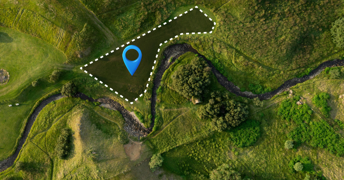
Capturing polygon boundaries
Enumerators or extension officers walk farm perimeters using GPS-enabled mobile apps to capture latitude, longitude points. These are converted into polygon boundaries that precisely define plot size and location critical in Ghana where customary tenure, fragmented holdings, and overlapping claims are common.
Mobile data collection tools
Digital platforms capture farmer profiles, crop data, input usage, soil information, and photos—syncing into a centralized database. Offline features are essential for remote cocoa belts, cashew zones, and northern savannah areas with limited connectivity.
NDVI vegetation analysis
NDVI from satellites provides insight into crop vigor, moisture stress, shade levels (important for cocoa), and disease patterns. This allows agribusinesses, cooperatives, and government institutions to monitor thousands of farms without field visits.
Crop type & stress detection
Machine-learning models identify cocoa, cashew, maize, plantain, yam, rice, shea, and other Ghanaian staples. They flag issues like drought, swollen shoot symptoms, nutrient stress, or pest pressure enabling early interventions and more accurate yield forecasting.
Cocoa, cashew, oil palm, shea, horticulture
Drones capture centimeter-level detail ideal for tree-crop zones. They help quantify tree counts, canopy density, gaps, disease hotspots, and age distribution data crucial for Ghana’s cocoa rehabilitation programs, cashew expansion, and palm oil estates.
Advanced plant health insights
Multispectral drone imagery detects fungal infections (e.g., black pod), water stress, nutrient deficiencies, and canopy decline much earlier than the human eye. This supports precision-extension services, reduces farmer losses, and strengthens supply-chain sustainability for processors and exporters.
Northern Ghana (Savannah & Upper Regions)
Northern Ghana contains a large share of the country’s cultivable land and is central to cereal, legume, and industrial crop production.
Key focus crops include:
● Maize & Millet: Core staples across the Savannah zone
● Rice: Dominant in irrigated valleys (e.g., Nasia, Bontanga, Tono)
● Sorghum: Widely grown for food and brewery value chains
● Soybean & Groundnut: Major export-linked legumes
Mapping challenges include dispersed smallholder plots, shifting cultivation, and limited cadastral records.
Middle Belt (Brong Ahafo, Ashanti, Eastern Regions)
The Middle Belt combines tree-crop and food-crop systems, making it a priority for traceability and productivity mapping.
Key crops include:
● Cocoa: Ghana’s flagship export (Western North, Ashanti, Ahafo)
● Cashew: Brong Ahafo accounts for majority output
● Plantain, Yam, Cassava: Key national food staples
● Vegetables & spices: Local and regional trade
Tree-crop areas require high-resolution mapping due to canopy cover, mixed cropping, and farm-family inheritance systems.
Southern Ghana (Forest & Coastal Regions)
Southern Ghana is dominated by dense forest agro-ecosystems, established plantation zones, and coastal horticulture.
Major crops include:
● Cocoa: Global top-two exporter
● Oil palm: Industrial plantations and smallholder clusters
● Rubber: Coastal and Western regions
● Pineapple, Mango, Citrus: Export horticulture (Akwapim, Central Region)
Key characteristics:
● Complex mixed-cropping farms with cocoa, plantain, cocoyam, and cassava
● Smallholder clusters spanning 0.4–2 ha
● High cloud cover requires combined satellite + drone mapping
● Land fragmentation due to stool lands, family lands, and leaseholds
Farm mapping in Ghana is essential for Cocoa Management System (CMS) compliance, EUDR traceability, yield forecasting, and integrating rural farmers into formal markets.
Farm mapping is increasingly critical across Ghana’s agricultural ecosystem as stakeholders require accurate, geotagged plot data to strengthen planning, sourcing, traceability, and compliance:
● Government & Ministry of Food and Agriculture (MoFA):
Uses mapped farms to improve input subsidy allocation (e.g., PFJ programs), validate land records, curb distribution fraud, and support national food-security planning.
● NGOs & Development Partners (USAID, GIZ, IFAD, AGRA):
Rely on geospatial data to track project outcomes, enhance climate-smart agriculture adoption, and ensure transparency in donor-funded interventions.
● Processors & Off-Takers (cocoa LBCs, cashew exporters, rice mills, shea aggregators):
Require mapped plots for traceability, EUDR compliance, supply-chain verification, and to build stronger smallholder networks.
● Input Suppliers & Agri-Finance Institutions:
Use digital plot profiles for loan verification, credit scoring, repo input credit schemes, and efficient last-mile distribution.
● Extension Service Providers:
Depend on mapped boundaries and crop data to deliver targeted advisory, monitor field activities, and measure farmer adoption of Good Agricultural Practices (GAP).
1. Fragmented Land Tenure & Customary Ownership
Over 70% of Ghana’s land is held under customary systems, where family, clan, and traditional authorities manage rights. Overlapping claims, undocumented transfers, and inconsistent boundary records make accurate geolocation and mapping difficult.
2. Lack of Formal Land Documentation
Many smallholders—especially in cocoa, maize, cassava, shea, and rice regions operate without land titles or recognized boundary markers, complicating digital verification for supply chain traceability and EUDR-style requirements.
3. Complex Farm Structures in Cocoa & Tree-Crop Zones
Cocoa farms often have mixed cropping (plantain, cocoyam, timber trees) and irregular shapes, making polygon mapping difficult. Shade-tree canopies also limit clarity in satellite imagery.
4. Limited Rural Connectivity & Digital Literacy
Weak network coverage in parts of Ashanti, Western North, Bono, and Northern Ghana hinders real-time data collection. Many farmers also lack familiarity with mobile-based mapping tools.
5. High Cost of High-Resolution Data & Field Deployment
Drone surveys, detailed GIS layers, and trained field enumerators increase operational costs, especially across dispersed smallholder clusters.
6. Seasonal Cloud Cover & Weather Constraints
Parts of Western and Ashanti regions experience dense cloud cover during peak farming seasons, reducing satellite accuracy and delaying remote sensing-based mapping.
7. Enumerator Skill Gaps & Data Quality Issues
Inaccurate GPS readings, inconsistent field protocols, or incomplete farmer profiles lead to errors that weaken the reliability of digitized farm records.
TraceX Farm Management Platform delivers end-to-end digital infrastructure that enables precise, scalable, and compliance-ready farm mapping across Ghana’s diverse agricultural zones from cocoa-growing regions in Ashanti and Western North to cashew belts in Bono and food crop hubs in Northern Ghana. The platform equips government agencies, NGOs, off-takers, and financial institutions with real-time visibility into farmer networks and production systems.
TraceX’s field app allows extension officers and enumerators to capture farm boundaries using GPS-based polygon mapping. Each plot receives a unique geolocation ID critical for COCOBOD traceability rules, EUDR compliance, and digital subsidy programs such as PFJ (Planting for Food and Jobs).
Each mapped plot is tied to a verified farmer profile that includes demographics, national ID, crop portfolio, input usage, and historical yield data. This helps lenders, aggregators, and cooperatives make informed decisions and reduces ghost farmer registrations, which remain a challenge in remote Ghanaian communities.
The platform integrates satellite imagery to monitor vegetation vigor, detect cocoa pests (e.g., CSSVD spread), assess crop stress, and forecast yields. These geospatial insights support climate-smart agriculture, especially in climate-vulnerable zones of Northern Ghana.
TraceX secures plot coordinates, crop records, and sourcing activities on blockchain, providing verifiable, tamper-proof evidence required for EUDR, Cocoa & Forests Initiative (CFI), Fairtrade, Organic, and Rainforest Alliance certifications. This safeguards Ghanaian exporters from market rejections and improves buyer confidence.
From smallholder cocoa farms through cooperatives, aggregators, and processors, TraceX connects every transaction across the supply chain. Buyers gain full visibility into origin, practices, and movement of produce reducing fraud, enhancing trust, and improving Ghana’s competitiveness in global markets.
Farm Mapping in Ghana is no longer optional it is foundational to building a transparent, climate-resilient, and export-ready agricultural sector. By integrating precise geolocation, farmer profiling, and geospatial analytics, Ghana can unlock higher productivity, reduce systemic inefficiencies, and meet rising global traceability demands such as EUDR. Digitized smallholder plots give governments, buyers, and financial institutions the visibility they need to support farmers effectively while improving market access for Ghana’s cocoa, cashew, maize, rice, and horticulture value chains.
Unlock the full potential of your farm! Explore our comprehensive guide to farm management and discover strategies to boost productivity, streamline operations, and enhance traceability.
Digitize your farm for a sustainable future! Learn how farm management software can help smallholders and agribusinesses monitor crops, ensure compliance, and meet global sustainability standards.
See your farm like never before! Discover how GIS technology is transforming agriculture with precise farm mapping, crop monitoring, and data-driven decision-making for higher efficiency and traceability.
Farm mapping involves digitally capturing the location, boundaries, and details of smallholder plots using GPS or GIS tools to improve traceability and compliance.
It helps verify land access, monitor crop production, ensure compliance with export regulations, and strengthen access to premium global markets.
Key export crops such as cocoa, cashew, ginger, hibiscus, and sesame benefit significantly from plot-level digitization for traceability and quality monitoring.
Digitized farm data allows verification of environmentally responsible practices, deforestation-free sourcing, and ethical smallholder engagement.
Yes. By providing verifiable origin data, farm mapping increases buyer confidence, reduces compliance risks, and helps exporters meet international standards.